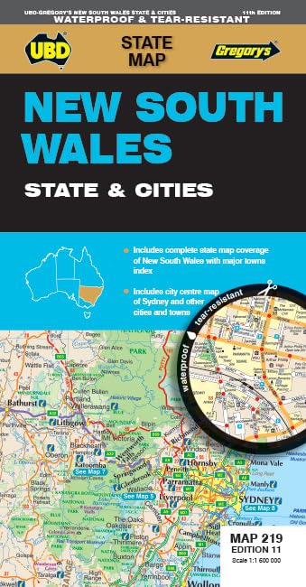
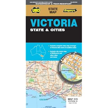
UBD Gregory’s New South Wales State & Cities Map 219, 11th Edition
Edition: UBD Gregory’s New South Wales State & Cities Map 219 is a fold-out map for planning and referencing roads, towns and selected city centres across NSW. It combines state mapping with street-level city maps, regional coverage and touring information.
At a glance
- Fold-out format is described as easy to carry for travel through NSW.
- One side has state mapping and an index to major towns. The other covers selected city streets, two regional areas and touring information.
- The state map is listed at a scale of 1 : 1 600 000.
Reference price: $14.99
Price checked: 18 Nov 2026
View offerAhead of Black FridayExplore the selectionOften bought together
Pros and cons
Pros
- Combines broad NSW road and town reference with street-level mapping for seven named cities and towns.
- The town index and touring information add practical reference beyond the state map.
- Listed weight is 51 g, and the map is described as easy to carry.
Cons
- The detailed street mapping is limited to the seven named locations, so it is not a comprehensive street map for all of NSW.
Technical specifications
14 specifications| State map scale | 1 : 1 600 000 |
|---|---|
| Town index | index to major towns |
| Street-level mapping | Byron Bay, Gosford, Katoomba, Newcastle, Parramatta, Sydney and Wollongong |
| Regional mapping | Lower Hunter Valley and Snowy Mountains |
| Additional content | touring information |
| Publisher | UBD Gregory's |
|---|---|
| Edition | Eleventh |
| Publication date | 1 November 2023 |
| Language | English |
| Print length | 1 pages |
| ISBN-10 | 0731933273 |
| ISBN-13 | 978-0731933273 |
| Weight listed | 51 g |
|---|---|
| Dimensions | 12.1 x 0.6 x 23.1 cm |
Who is it for?
A good fit for
- Travellers wanting a fold-out NSW overview with an index to major towns.
- Visitors needing street-level map coverage for Byron Bay, Gosford, Katoomba, Newcastle, Parramatta, Sydney or Wollongong.
- Readers seeking regional mapping for the Lower Hunter Valley and Snowy Mountains.
Less suited to
- Buyers who need detailed street mapping for NSW locations beyond those named in the listing.
- Anyone expecting navigation updates or digital route guidance, which are not described.
Customer reviews on Amazon
- 5 stars
85% 85% - 4 stars
7% 7% - 3 stars
5% 5% - 2 stars
3% 3% - 1 star
0% 0%
Aggregate customer ratings are mostly in the five-star category, with a smaller spread across lower ratings. This indicates generally favourable overall responses but does not reveal what customers liked or disliked. The rating data alone cannot confirm map accuracy, durability or whether the listed coverage suits a particular trip.
Frequently asked questions
What areas does this map cover?
It provides a NSW state map, an index to major towns, street-level mapping for Byron Bay, Gosford, Katoomba, Newcastle, Parramatta, Sydney and Wollongong, plus the Lower Hunter Valley and Snowy Mountains.
What scale is the state map?
The listing gives the state mapping scale as 1 : 1 600 000.
Is it described as waterproof?
The product title includes “waterproof”, but the supplied description does not explain the material or water-resistance conditions. Check the selected listing for clarification if this matters.
Alternative options
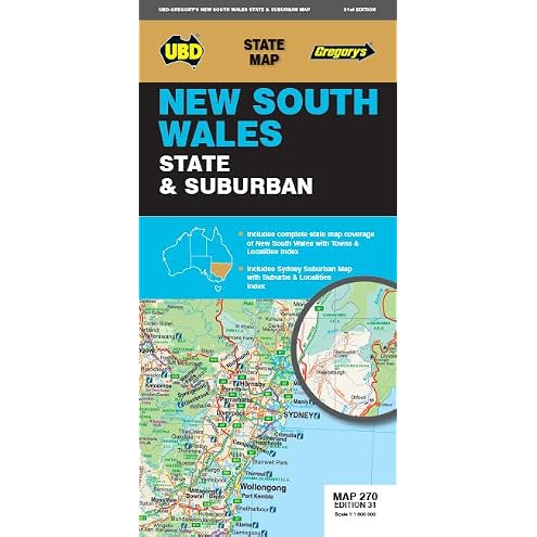
New South Wales State & Suburban Map 270 31st ed
$8.44
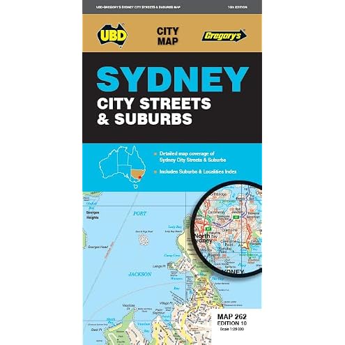
Sydney City Streets & Suburbs Map 262 10th
$9.28
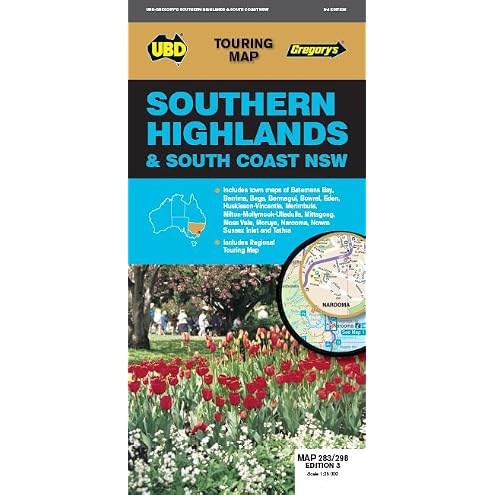
Southern Highlands & South Coast NSW Map 283/298 3rd ed
$10.19
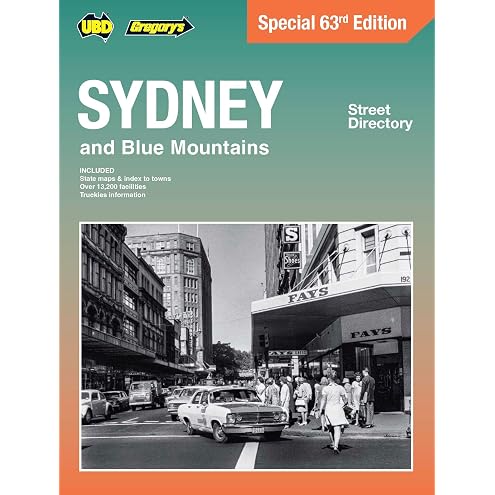
Sydney & Blue Mountains Street Directory 63rd Edition: Special Edition
$36.00
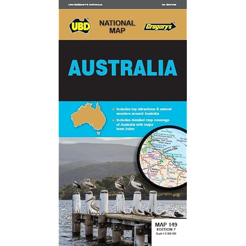
Australia Map 149 7th ed
$10.19
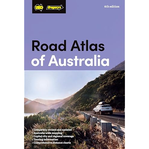
Road Atlas of Australia 6th edition
$24.13
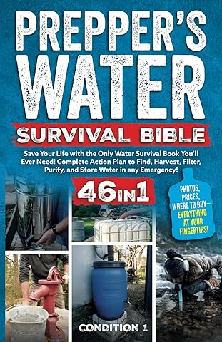
PREPPER’S WATER SURVIVAL BIBLE: Save Your Life with the Only Water Survival Book You’ll Ever Need! Complete Action Plan to Find, Harvest, Filter, Purify, and Store Water in any Emergency!
$38.47
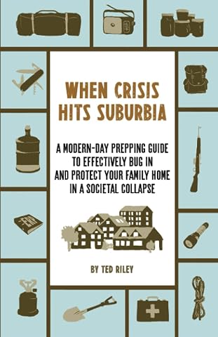
When Crisis Hits Suburbia: A Modern-Day Prepping Guide to Effectively Bug in and Protect Your Family Home in a Societal Collapse
$32.53
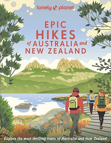
Lonely Planet Epic Hikes of Australia & New Zealand: 200 Amazing Treks & Trails | Travel Planning Tips & Advice | 1 Day to Multi Week Adventures | Beautiful Photography & Maps
$31.75
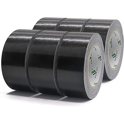
6 Rolls Heavy Duty Black Duct Tape, 48mm x 30m 1 Roll, BOMEI PACK | Easy Tear Gaffer Waterproof Cloth Tape for Repairing and Multipurpose,Total 180m,
$38.99
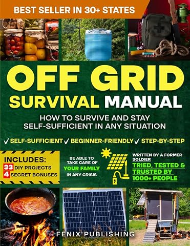
Off Grid Survival Book: Diy Survival Project Book - No Grid Survival Guide
$49.50
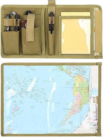
Waterproof Map Holder | Durable construction, Waterproof, daily essentials, keeps items organised and accessible, home travel and everyday use
$23.99