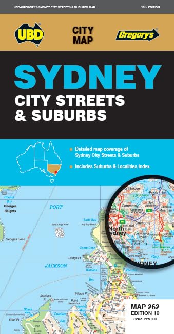
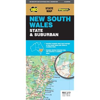
Sydney City Streets & Suburbs Map 262, 10th Edition
Edition: Sydney City Streets & Suburbs Map 262 is a fold-out map covering central Sydney and surrounding suburbs on one side, with wider suburban coverage on the other. Its two stated scales and suburb index suit travellers who want printed local and regional coverage, though it is not a digital navigation product.
At a glance
- Two map sides provide different levels of detail, with one focused on the city and nearby suburbs and the other covering a wider area.
- The listing describes the map as fold-out and includes an index to suburbs and localities.
- The stated 1:25 000 and 1:100 000 scales help distinguish the detailed and wider-area map sides.
Reference price: $12.99
Price checked: 18 Nov 2026
View offerAhead of Black FridayExplore the selectionOften bought together
Pros and cons
Pros
- Combines detailed central Sydney coverage with a broader suburban map in one fold-out item.
- The suburb and locality index can help users find places across the mapped area.
Technical specifications
14 specifications| Central Sydney scale | 1: 25 000 |
|---|---|
| Wider suburban scale | 1:100 000 |
| Central map coverage | Dee Why in the north to Malabar in the south; Inland from Gordon in the north to Kogarah in the south; North Head in the east and west of the city to Haberfield and Russell Lea |
| Wider suburban coverage | Gosford in the north Tahmoor in the south; Springwood in the west, and along the coast from Umina Beach in the north to Coalcliff in the south |
| Index | an index to the suburbs & localities on these maps |
| Publisher | UBD Gregory's |
|---|---|
| Edition | Tenth |
| Publication date | 12 November 2024 |
| Language | English |
| Print length | 1 pages |
| ISBN-10 | 073193346X |
| ISBN-13 | 978-0731933464 |
| Weight listed | 50 g |
|---|---|
| Dimensions | 19 x 25 x 1 cm |
What to know before buying
Listing details to confirm
The listing calls this a handy-sized fold-out map, but also reports dimensions of 19 x 25 x 1 cm and a print length of 1 pages. These details describe different aspects of a folded map and do not specify its unfolded size.
Who is it for?
A good fit for
- Travellers who want printed street and suburb coverage around Sydney.
- Readers who need both detailed city-area mapping and a broader suburban overview.
Less suited to
- People seeking live directions, GPS navigation or an interactive map.
Customer reviews on Amazon
- 5 stars
90% 90% - 4 stars
0% 0% - 3 stars
0% 0% - 2 stars
10% 10% - 1 star
0% 0%
The supplied aggregate ratings are mostly five-star, with some two-star ratings, but no written customer feedback is available to explain either response. The small rating sample cannot establish how clearly the map reads in use or whether its coverage meets a particular traveller's needs. Buyers can assess those needs against the listed scales, coverage and suburb index.
Frequently asked questions
What areas does the map cover?
The detailed side covers parts of Sydney from Dee Why to Malabar and inland from Gordon to Kogarah, with other boundaries described in the listing. The wider-area side extends from Gosford to Tahmoor and Springwood, with coastal coverage from Umina Beach to Coalcliff.
Does it include an index?
Yes. The listing says it includes an index to the suburbs and localities shown on the maps.
What are the two map scales?
The city and nearby suburbs are shown at 1: 25 000, while the wider suburban map is at 1:100 000.
Alternative options
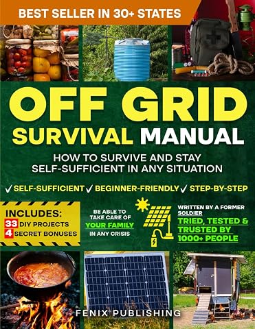
Off Grid Survival Book: Diy Survival Project Book - No Grid Survival Guide
$49.50
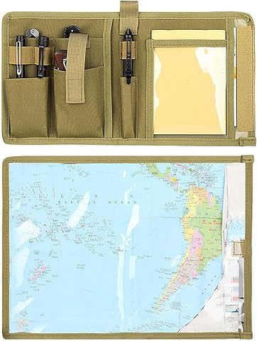
Waterproof Map Holder | Durable construction, Waterproof, daily essentials, keeps items organised and accessible, home travel and everyday use
$23.99
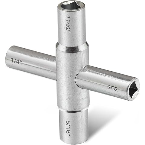
Hanpex 4-Way Sillcock Key Wrench, 1/4", 9/32", 5/16", 11/32", Fits Most Sillcock, Stopcock, Water Spigots, Wall-hydrant, Control Cabinet and Valves
$10.29
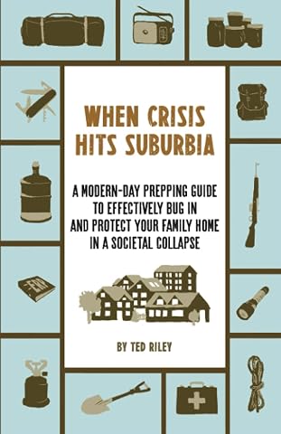
When Crisis Hits Suburbia: A Modern-Day Prepping Guide to Effectively Bug in and Protect Your Family Home in a Societal Collapse
$32.53
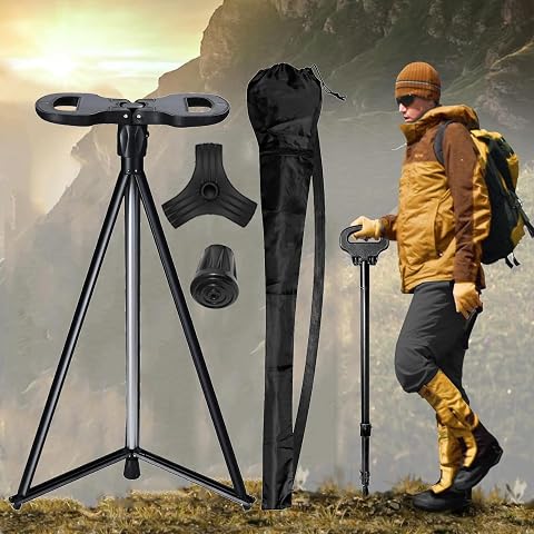
Adjustable Walking Cane with Seat,2-in-1 Foldable Walking Sticks Chair for Men Women Elderly,Walk Cane Portable Trekking Poles, Shrinkable Lightweight Non-Skid Travel Storage Bag for Outdoor Hiking
$76.79
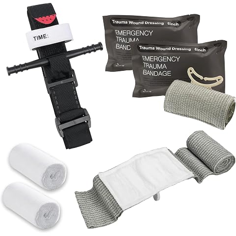
Tactical Tourniquet, 6" Israeli Bandage, Elastic Bandage, 12m Skimmed Gauze, First Aid Procedure to Control Blood Loss, Emergency Bandage Tourniquet Emergency for Outdoor Activities
$26.99
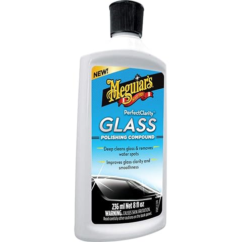
Meguiar's Perfect Clarity Glass Polishing Compound, 236 ml | Removes Water Spots, Stains and Haze | Leaves Automotive Glass Clear and Streak-Free
$26.59
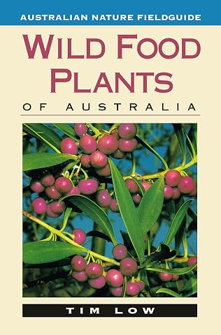
Wild Food Plants of Australia
$26.99