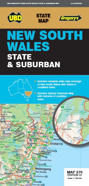
New South Wales State & Suburban Map 270, 31st Edition
The New South Wales State & Suburban Map 270, 31st Edition combines state coverage with a Sydney and surrounds map and indexes for towns, localities and suburbs. Its fold-up format is aimed at travellers who want both regional orientation and suburban coverage in one map.
At a glance
- Combines New South Wales state mapping with Sydney and surrounds suburban coverage.
- The state map is listed at a scale of 1: 1 600 000.
- Includes indexes for towns and localities and for suburbs and localities.
- Fold-up map format is described for travel around New South Wales and the Sydney region.
Reference price: $12.99
Price checked: 18 Nov 2026
View offerAhead of Black FridayExplore the selectionOften bought together
Pros and cons
Pros
- State and suburban coverage are brought together in one map, with the covered Sydney region specified.
- Separate indexes support looking up towns and localities as well as suburbs.
Technical specifications
11 specifications| State map scale | 1: 1 600 000 |
|---|---|
| Sydney and surrounds coverage | north to Gosford, south to Douglas Park and Stanwell Park, along the coast from Palm Beach to Coalcliff and west to Springwood |
| Indexes | index to towns and localities on one side and on the other side there is Sydney and surrounds suburban coverage north to Gosford, south to Douglas Park and Stanwell Park, along the coast from Palm Beach to Coalcliff and west to Springwood plus an index to the suburbs and localities included on this map. |
| Publisher | UBD Gregory's |
|---|---|
| Publication date | 1 April 2025 |
| Edition | Thirty-first |
| Language | English |
| Print length | 1 pages |
| ISBN-10 | 0731933559 |
| ISBN-13 | 978-0731933556 |
| Weight listed | 80 g |
|---|
What to know before buying
- The listing describes the map as fully revised and updated, but does not specify individual road-update dates or provide a detailed coverage inventory. Confirm that the listed Sydney-region boundaries suit your route. The listed print length of 1 pages may not describe the physical folded map format.
Who is it for?
A good fit for
- Drivers and travellers wanting an at-a-glance New South Wales map alongside Sydney and surrounds coverage.
- Buyers who prefer a fold-up paper map with indexes for finding towns, localities and suburbs.
Less suited to
- Anyone needing detailed street-by-street mapping beyond the stated Sydney coverage area or a clearly specified road-update history.
Customer reviews on Amazon
- 5 stars
100% 100% - 4 stars
0% 0% - 3 stars
0% 0% - 2 stars
0% 0% - 1 star
0% 0%
The supplied aggregate feedback is uniformly five-star, but the small number of ratings and lack of written review details do not show which aspects customers valued. That feedback offers little guidance on map legibility, accuracy or whether its stated coverage suits a particular journey.
Frequently asked questions
What areas does this map cover?
The listing describes a New South Wales state map and Sydney and surrounds coverage extending north to Gosford, south to Douglas Park and Stanwell Park, along the coast from Palm Beach to Coalcliff, and west to Springwood.
What is the scale of the state map?
The listed state mapping scale is 1: 1 600 000.
Does it include an index?
Yes. The listing describes an index to towns and localities and an index to the suburbs and localities shown on the map.
Alternative options
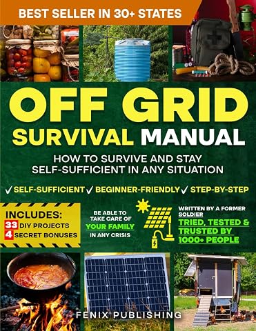
Off Grid Survival Book: Diy Survival Project Book - No Grid Survival Guide
$49.50
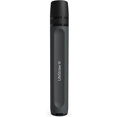
LifeStraw Peak Series Water Filter Straw, Dark Grey
$39.99
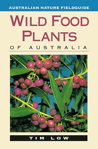
Wild Food Plants of Australia
$26.99
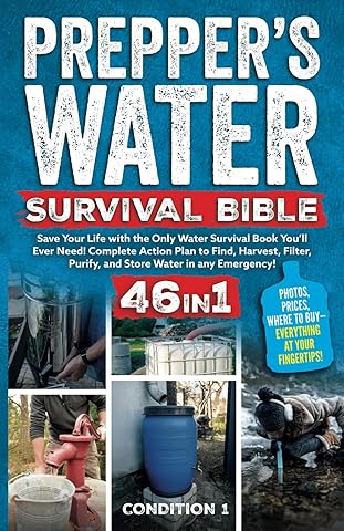
PREPPER’S WATER SURVIVAL BIBLE: Save Your Life with the Only Water Survival Book You’ll Ever Need! Complete Action Plan to Find, Harvest, Filter, Purify, and Store Water in any Emergency!
$38.47
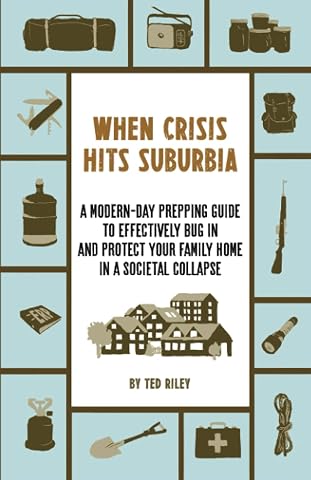
When Crisis Hits Suburbia: A Modern-Day Prepping Guide to Effectively Bug in and Protect Your Family Home in a Societal Collapse
$32.53
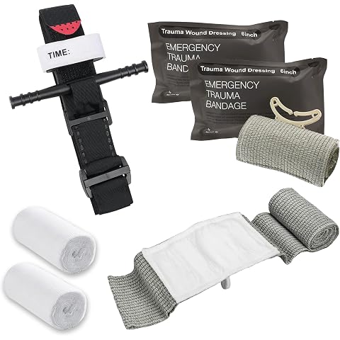
Tactical Tourniquet, 6" Israeli Bandage, Elastic Bandage, 12m Skimmed Gauze, First Aid Procedure to Control Blood Loss, Emergency Bandage Tourniquet Emergency for Outdoor Activities
$26.99
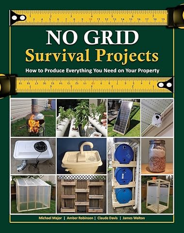
NO GRID Survival Projects
$75.00
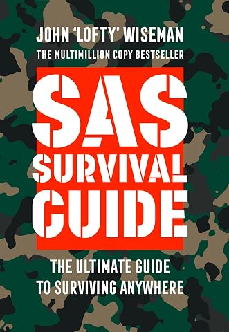
Collins Gem - SAS Survival Guide: How To Survive In The Wild, On Land OrSea
$14.44