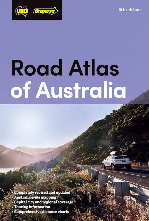
Road Atlas of Australia, 6th Edition
Road Atlas of Australia, 6th Edition is a printed atlas for planning trips across Australia, with maps, touring information and regional attractions. Its broad map coverage and distance charts suit route planning, while the spiral binding and plastic jacket are described as practical for keeping in a car.
At a glance
- Australia-wide coverage with more than 140 maps, including holiday regions, inter-city routes, capital-city CBDs and suburbs.
- Includes distance charts, national park facility charts and maps for 48 touring regions.
- Lists major attractions and offers touring information, colour photographs and an index.
- Includes information on Traditional Owners and places featuring First Nations cultural experiences or describing sacred sites.
- The listing describes a spiral-bound format with a plastic jacket for car use.
Reference price: $36.99
Price checked: 18 Nov 2026
View offerAhead of Black FridayExplore the selectionOften bought together
Pros and cons
Pros
- Combines national, city, route and touring-region mapping in one reference.
- Distance charts and national park facility information add planning detail beyond basic road maps.
- Touring information and attraction listings may help when planning stops as well as routes.
Technical specifications
11 specifications| Publisher | UBD Gregory's |
|---|---|
| Edition | Sixth |
| Publication date | 6 June 2024 |
| Language | English |
| Print length | 312 pages |
| ISBN-10 | 0731933222 |
| ISBN-13 | 978-0731933228 |
| Map count | more than 140 maps |
|---|---|
| Touring regions | 48 touring regions |
| Binding and cover | Spiral binding and a plastic jacket |
| Weight listed | 940 g |
|---|
What to know before buying
- The listing describes this atlas as the latest edition and says its information was checked and updated, but does not specify map-update dates or how recently individual routes were verified.
Who is it for?
A good fit for
- Drivers planning road trips across multiple Australian states and territories.
- Travellers who want printed maps alongside touring-region, park and attraction information.
- Readers seeking a physical reference with cultural-site information and an index.
Less suited to
- Buyers who need live traffic, turn-by-turn navigation or digital map updates.
- Travellers looking for a lightweight pocket map, as the listed weight is 940 g.
Customer reviews on Amazon
- 5 stars
63% 63% - 4 stars
25% 25% - 3 stars
4% 4% - 2 stars
0% 0% - 1 star
8% 8%
Aggregate customer ratings lean positive, with most recorded ratings in the four- or five-star categories, but a smaller one-star share means experiences are not uniformly favourable. Without written feedback, the ratings do not explain what buyers liked or disliked. The atlas’s listed broad map coverage and touring content may suit road-trip planners, but ratings alone cannot establish map accuracy or update quality.
Frequently asked questions
What kinds of maps are included?
The listing says it includes more than 140 maps, covering holiday regions, inter-city routes, capital-city CBDs and suburbs, national parks and 48 touring regions.
Does it include trip-planning information beyond maps?
Yes. The listed contents include distance charts, park facility charts, touring information, attraction listings, colour photographs and an index.
Is it designed for use in a car?
The listing describes it as spiral-bound with a plastic jacket and intended to be kept in a car. It weighs 940 g according to the product details.
Does it provide live navigation?
No live navigation capability is stated. This is a printed atlas, so the listing supports using it as a physical mapping reference rather than a live navigation device.
Alternative options
Touring Atlas of Australia 31st Edition
$21.27
Complete Motoring Atlas of Australia 10th edition
$24.51
New South Wales State & Cities Map 219 11th ed waterproof
$10.61
Australia Pocket Map 179 4th ed
$7.36
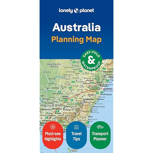
Lonely Planet Australia Planning Map
$11.99

TAAUS 100ml Printhead Cleaner Kit - Compatible with Epson, HP, Canon, Brother Inkjet Printers - Printer Head Cleaning Solution for Improved Print Quality
$15.55
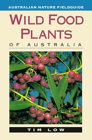
Wild Food Plants of Australia
$26.99
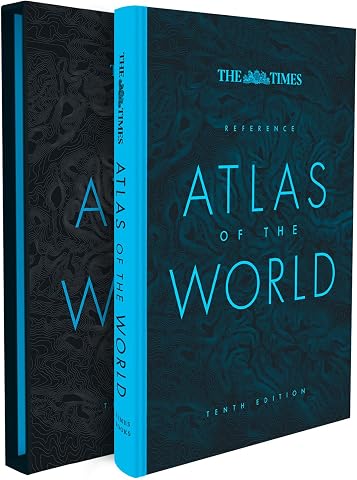
The Times Reference Atlas of the World [Tenth Edition]
$93.75
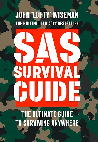
Collins Gem - SAS Survival Guide: How To Survive In The Wild, On Land OrSea
$14.44
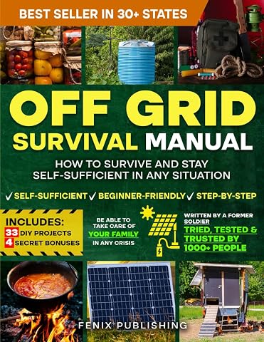
Off Grid Survival Book: Diy Survival Project Book - No Grid Survival Guide
$49.50
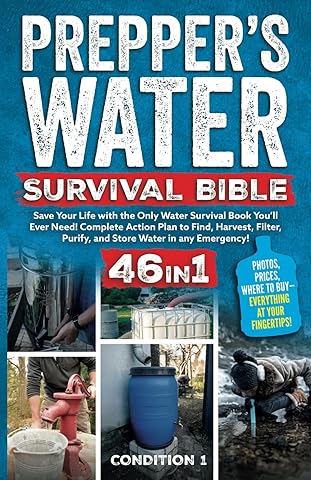
PREPPER’S WATER SURVIVAL BIBLE: Save Your Life with the Only Water Survival Book You’ll Ever Need! Complete Action Plan to Find, Harvest, Filter, Purify, and Store Water in any Emergency!
$38.47
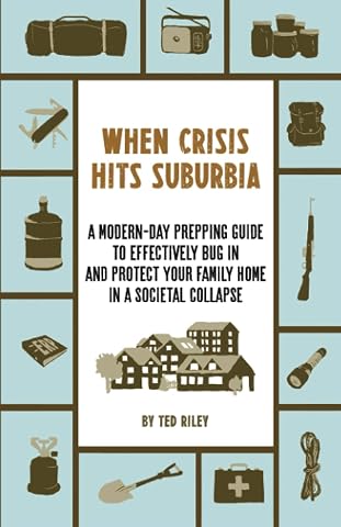
When Crisis Hits Suburbia: A Modern-Day Prepping Guide to Effectively Bug in and Protect Your Family Home in a Societal Collapse
$32.53