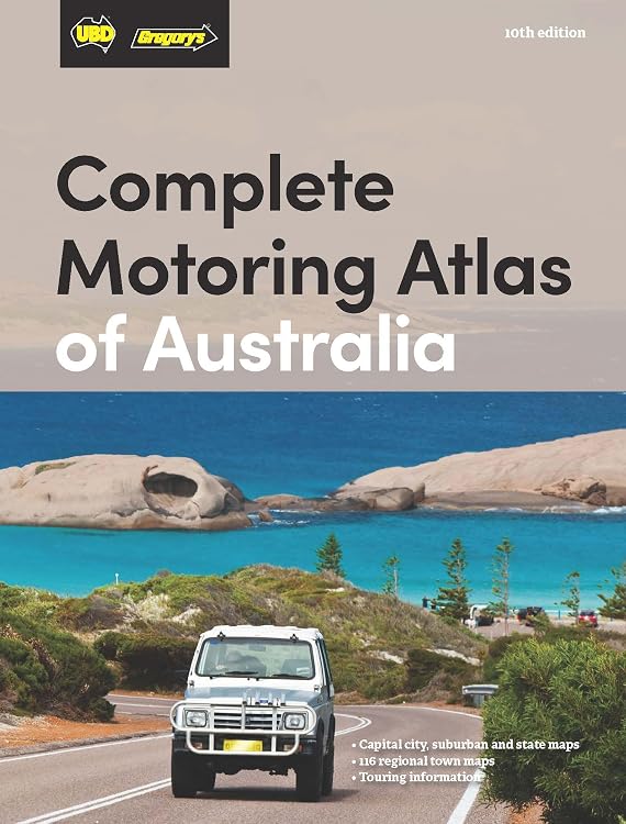
UBD Gregory’s Complete Motoring Atlas of Australia, 10th Edition
UBD Gregory’s Complete Motoring Atlas of Australia, 10th Edition is a printed road atlas for planning and following journeys across the country. The listing describes 116 regional town maps, visitor information centre locations, inter-city routes, and distance and fuel consumption charts. Its paper format suits readers who want maps and route-planning references in one volume, though it does not establish that the information is current beyond the stated edition.
At a glance
- The listing describes 116 regional town maps and visitor information centre locations.
- Includes Australia-wide, state and city information, along with inter-city routes, according to the listing.
- Distance and fuel consumption charts are intended to assist journey planning.
- A comprehensive index is described for locating places.
Reference price: $39.99
Price checked: 18 Nov 2026
View offerAhead of Black FridayExplore the selectionOften bought together
Pros and cons
Pros
- Combines regional maps, route information and trip-planning charts in a single atlas.
- The stated 220-page length and English language are useful reference details for choosing a print atlas.
Technical specifications
13 specifications| Publisher | UBD Gregory's |
|---|---|
| Publication date | 3 June 2025 |
| Edition | 10th edition |
| Language | English |
| Print length | 220 pages |
| ISBN-10 | 0731933729 |
| ISBN-13 | 978-0731933723 |
| Weight listed | 880 g |
|---|
| Regional town maps | 116 regional town maps |
|---|---|
| Other listed content | visitor information centre locations |
| Route information | inter-city routes |
| Planning charts | Distance and fuel consumption charts |
| Index | comprehensive index |
What to know before buying
- The listing describes the map and route content but does not specify map scales, update coverage for individual roads or whether digital access is included. Confirm those details if they matter for your trip.
Who is it for?
A good fit for
- Drivers planning road trips across Australia who want a printed atlas with regional town maps and inter-city route information.
- Travellers who use distance and fuel consumption charts as part of journey planning.
Less suited to
- Buyers who need confirmed map scales, a guaranteed current road database or a digital navigation service, as these are not established by the listing.
Customer reviews on Amazon
- 5 stars
73% 73% - 4 stars
17% 17% - 3 stars
10% 10% - 2 stars
0% 0% - 1 star
0% 0%
Aggregate ratings lean positive, with most ratings in the five-star category and some in the four- and three-star categories. There is no supplied written feedback explaining those ratings, so they do not establish which atlas features buyers liked or disliked. For buyers, the listed maps and planning charts indicate the intended use, but the ratings cannot confirm map accuracy, clarity or update coverage.
Frequently asked questions
What is included in the atlas?
The listing describes 116 regional town maps, visitor information centre locations, inter-city routes, distance and fuel consumption charts, and an index.
How many pages is this edition?
The listed print length is 220 pages.
Does the listing confirm digital maps or navigation access?
No digital access or navigation service is specified in the supplied product details.
Alternative options
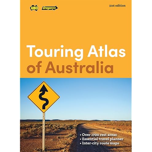
Touring Atlas of Australia 31st Edition
$21.27
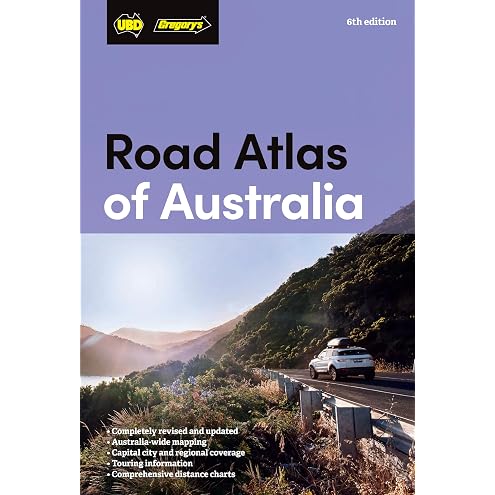
Road Atlas of Australia 6th edition
$24.13
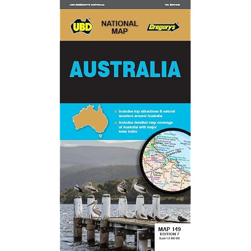
Australia Map 149 7th ed
$10.19
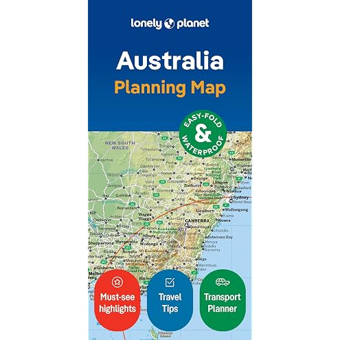
Lonely Planet Australia Planning Map
$11.99
New South Wales State & Suburban Map 270 31st ed
$8.44
NO GRID Survival Projects
$75.00
RV Camping Across the USA for Beginners: The Complete 50-State Guide with Named Campgrounds, Hookups, Length Limits, RV-Safe Routes, Step-by-Step Campsite Setup and Ready-to-Drive Trip Plans
$57.17
Lonely Planet Tasmania Planning Map
$12.74
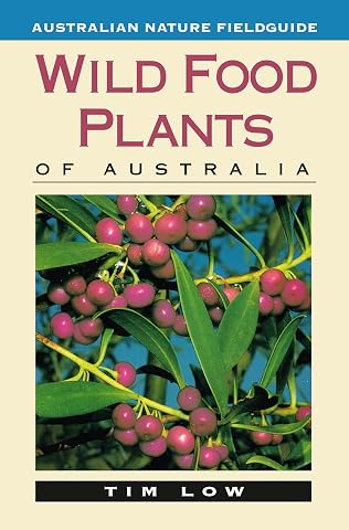
Wild Food Plants of Australia
$26.99
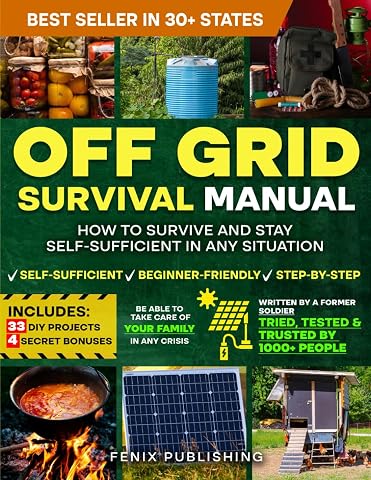
Off Grid Survival Book: Diy Survival Project Book - No Grid Survival Guide
$49.50
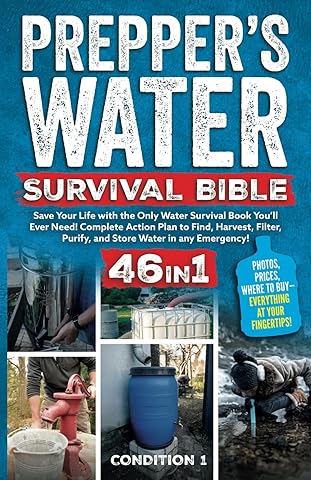
PREPPER’S WATER SURVIVAL BIBLE: Save Your Life with the Only Water Survival Book You’ll Ever Need! Complete Action Plan to Find, Harvest, Filter, Purify, and Store Water in any Emergency!
$38.47
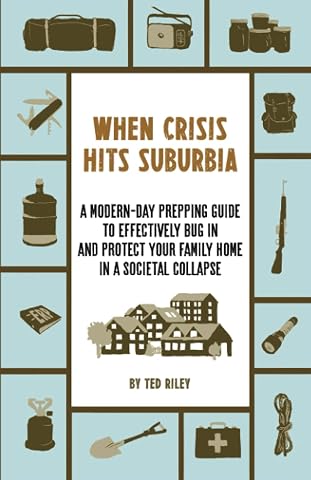
When Crisis Hits Suburbia: A Modern-Day Prepping Guide to Effectively Bug in and Protect Your Family Home in a Societal Collapse
$32.53