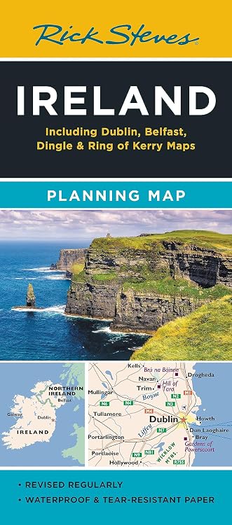
Rick Steves Ireland Planning Map
Rick Steves Ireland Planning Map is a two-sided travel map highlighting destinations and routes across Ireland, with city-centre maps for Dublin and Belfast. It is designed to complement Rick Steves’ Ireland guidebook, though customer feedback indicates that town labels and smaller-road detail may be limited.
At a glance
- Highlights destinations favoured by Rick Steves, with larger cities included for navigation.
- Lists highways, ferry routes, bus stops and train lines to support route planning.
- The reverse includes Dublin and Belfast city-centre maps locating sights, hotels and restaurants.
- Described as printed on tearproof paper for use over multiple trips.
Often bought together
Pros and cons
Pros
- Combines an Ireland overview with city-centre maps for Dublin and Belfast.
- Includes road, ferry, bus and train-route information in one map.
- The listing describes the paper as tearproof, useful for repeated travel handling.
Cons
- Customer feedback reports that labels for towns and information on smaller roads can be limited, which may restrict detailed local navigation.
Technical specifications
13 specifications| Publisher | Rick Steves |
|---|---|
| Publication date | 9 April 2024 |
| Edition | 2nd ed. |
| Language | English |
| Print length | 2 pages |
| ISBN-13 | 978-1641715980 |
| Destinations and areas in title | Dublin, Belfast, Dingle & Ring of Kerry |
|---|---|
| Route information listed | highways, ferry routes, bus stops, and train lines |
| Reverse-side city maps | Dublin and Belfast |
| Paper | high-quality paper |
| Tear resistance | tearproof paper |
| Weight listed | 1.05 kg |
|---|---|
| Dimensions | 10.87 x 0.25 x 23.75 cm |
What to know before buying
- The listing presents this as a two-page map and says it covers highways, ferries, bus stops and train lines. Customer feedback is mixed on road and town detail, so it may work better for broad trip planning than for navigating smaller towns.
Who is it for?
A good fit for
- Travellers planning an Ireland itinerary who want an overview of destinations and road, ferry, bus and train routes.
- Rick Steves guidebook users seeking a companion map, including Dublin and Belfast city-centre maps.
Less suited to
- Travellers who need extensive town labelling or detailed directions on smaller roads.
Customer reviews on Amazon
- 5 stars
69% 69% - 4 stars
17% 17% - 3 stars
9% 9% - 2 stars
3% 3% - 1 star
2% 2%
Customer feedback describes the map as helpful for vacation planning and readable, while opinions on its quality and detail are mixed. Some say it outlines the areas they wanted, while others report limited town labelling and less information on roads and smaller towns. For broad itinerary planning, the listed route types and Dublin and Belfast city maps are relevant, but travellers needing fine-grained local navigation may want more detail. Ratings are mostly in the higher star categories, though that does not establish how much detail any particular traveller will find sufficient.
Positive themes
- Customers report that it helps with vacation planning and is readable.
Mixed feedback
- Feedback is mixed on map quality and level of detail, including town labels and smaller-road information.
Frequently asked questions
What areas does the map cover?
The title names Ireland, Dublin, Belfast, Dingle and the Ring of Kerry. The listing also says it highlights destinations and includes major cities for navigation.
What transport routes are shown?
The listing says the map includes highways, ferry routes, bus stops and train lines.
Does it include maps of Dublin and Belfast?
Yes. The listing says the reverse side has city-centre maps of Dublin and Belfast, locating sights, hotels and restaurants.
Is this map detailed enough for small-town navigation?
Customer feedback is mixed on detail, with some reporting limited town labels and information about smaller roads. Consider a more detailed map if local navigation is your main need.
Alternative options
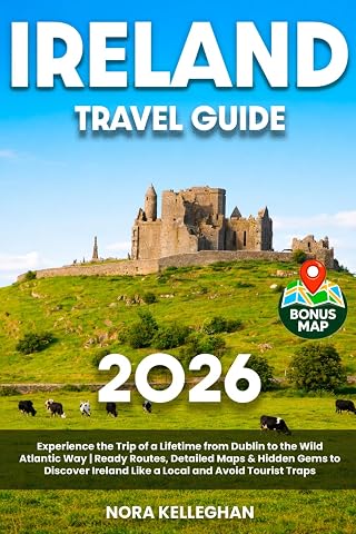
Ireland Travel Guide: Experience the Trip of a Lifetime from Dublin to the Wild Atlantic Way | Ready Routes, Detailed Maps & Hidden Gems to Discover Ireland Like a Local and Avoid Tourist Traps
$35.17
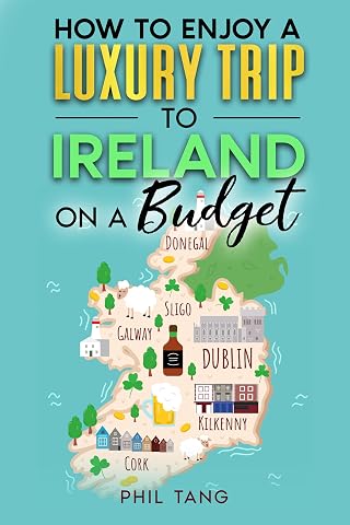
Super Cheap Ireland Travel Guide 2027: Enjoy a $10,000 Trip to Ireland for $1,000 (2027 TRAVEL GUIDE - Super Cheap Insider Guides 2027 - Luxury on a Budget Guidebooks Book 15)
$15.99
The Times Reference Atlas of the World [Tenth Edition]
$93.75
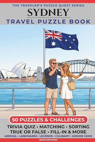
Sydney Travel Puzzle Book: 50 Brain Games, Trivia & Things to Do for Adults | Local History, Landmarks, Hidden Tips & Culinary Secrets | The Perfect Companion for Your City Trip
$27.44

European Christmas Markets Travel Guide 2027–2028: Festive Squares from Nuremberg to Tallinn with Projected Dates, Rail Itineraries, Seasonal Food and Handmade Gifts
$14.38
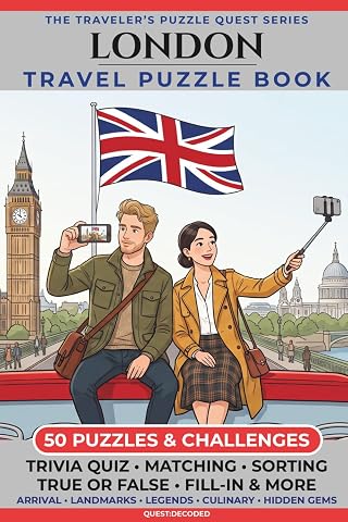
London Edition: 50 Puzzles & Challenges for US Travelers – Detailed History, Hidden Tips, Landmarks, and Culinary Secrets
$27.44
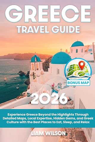
Greece Travel Guide: Experience Greece Beyond the Highlights Through Detailed Maps, Local Expertise, Hidden Gems, and Greek Culture with the Best Places to Eat, Sleep, and Relax
$29.67
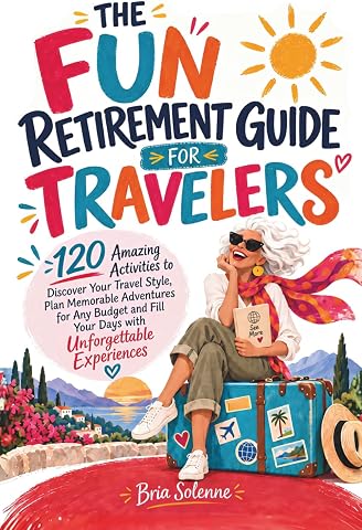
The Fun Retirement Guide for Travelers: 120 Amazing Activities to Discover Your Travel Style, Plan Memorable Adventures for Any Budget and Fill Your Days with Unforgettable Experiences
$25.29