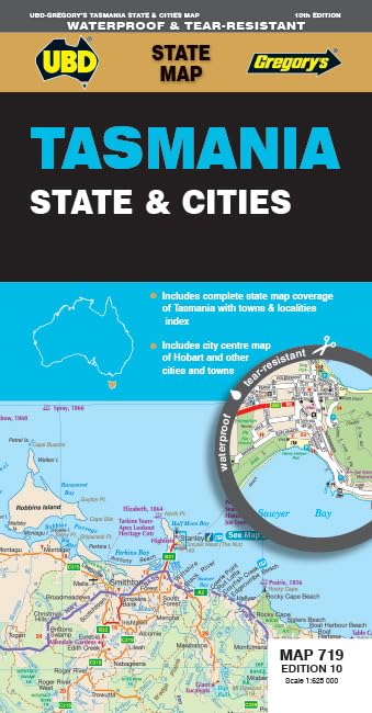
UBD Gregory's Tasmania State & Cities 719 Map, 10th Edition
Edition: UBD Gregory's Tasmania State & Cities 719 Map is a waterproof fold-out map for state-wide route planning and selected town and city street coverage. The listing describes different scales for the state and urban areas, plus an index to towns and localities.
At a glance
- Fold-out format combines state-wide mapping with more detailed coverage for selected urban areas.
- The listing describes mapping for Hobart and Launceston at a larger scale than the other named towns.
- Includes an index to towns and localities and information on ways to discover Tasmania.
Often bought together
Pros and cons
Pros
- The different scales support both broad state orientation and more detailed navigation in the specified towns.
- A town and locality index can help users locate places across the state map.
Technical specifications
14 specifications| State mapping scale | 1 : 625 000 |
|---|---|
| Hobart and Launceston street mapping scale | 1 : 10 000 |
| Other listed towns' street mapping scale | 1 : 25 000 |
| Bruny Island coverage scale | 1 : 240 000 |
| Street-level coverage at 1 : 25 000 | Devonport, Penguin, Burnie, Bicheno, Deloraine, Stanley, St Helens, Strahan, Ulverstone, Oatlands and Queenstown |
| State mapping index | Index to towns and localities |
| Publisher | UBD Gregory's |
|---|---|
| Edition | Tenth |
| Publication date | 1 April 2025 |
| Language | English |
| Print length | 1 pages |
| ISBN-10 | 0731933567 |
| ISBN-13 | 978-0731933563 |
| Weight listed | 50 g |
|---|
What to know before buying
- The listing calls the map waterproof, but provides no material, durability or water-resistance rating. It also describes a handy fold-out map but lists a print length of 1 pages. Check the map format and waterproof claim if those details matter.
Who is it for?
A good fit for
- Travellers who want a paper reference for driving around Tasmania.
- Visitors needing street mapping for Hobart, Launceston or one of the other listed towns.
Less suited to
- Buyers who need detailed street coverage for a town not named in the listing.
- Those seeking a digital or turn-by-turn navigation product.
Customer reviews on Amazon
- 5 stars
76% 76% - 4 stars
24% 24% - 3 stars
0% 0% - 2 stars
0% 0% - 1 star
0% 0%
The supplied aggregate ratings lean positive, with ratings in the four- and five-star categories. The small rating sample does not establish what buyers liked or how the map performs, so consider it only alongside the listed coverage and scale details.
Frequently asked questions
What areas are covered at street level?
The listing specifies Hobart and Launceston at 1 : 10 000, and Devonport, Penguin, Burnie, Bicheno, Deloraine, Stanley, St Helens, Strahan, Ulverstone, Oatlands and Queenstown at 1 : 25 000.
Does it include state-wide mapping?
Yes. The listing gives a state mapping scale of 1 : 625 000 and says it includes an index to towns and localities.
Is the map waterproof?
The title claims it is waterproof, but no material or water-resistance details are supplied. Check the selected listing if this is essential.
What is the listed publication date and edition?
The product details list the tenth edition and a publication date of 1 April 2025.
Alternative options
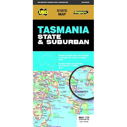
Tasmania State & Suburban Map 770 29th ed
$12.74
Lonely Planet Tasmania: Plan the Trip of a Lifetime | Detailed Itineraries & Maps | Insider Tips | Covers Hobart & Around, The South, Launceston, Cradle Country, Tarkine and more
$25.75
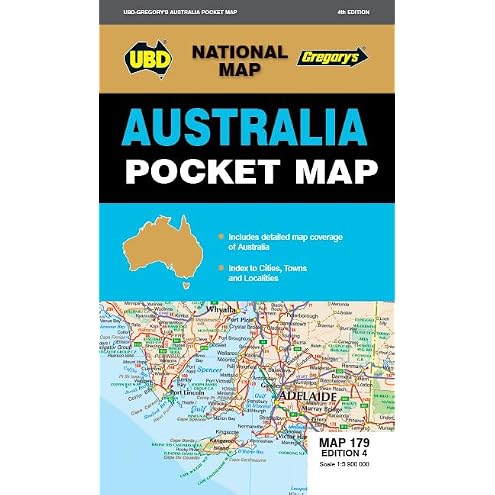
Australia Pocket Map 179 4th ed
$7.36
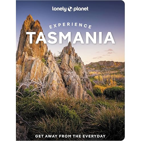
Lonely Planet Experience Tasmania: Build a Trip to Remember | Local Insights | Maps & Planning Tools | Covers Tokyo, Central Honshu, Japan Alps, Kyoto, Kansai, Hokkaido and more
$23.99
Sydney Travel Puzzle Book: 50 Brain Games, Trivia & Things to Do for Adults | Local History, Landmarks, Hidden Tips & Culinary Secrets | The Perfect Companion for Your City Trip
$27.44

Antique World Globe, Rotable World Map With Metal Rack Educational Globe With The Latest Drawing Technology For Children Adults Teacher
$26.48
Hurdles in Hobart (Soul of the City)
$4.99
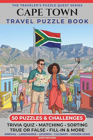
Cape Town Travel Puzzle Book: 50 Brain Games, Trivia & Things to Do for Adults | Local History, Landmarks, Hidden Tips & Culinary Secrets | The Perfect Companion for Your City Trip
$23.09
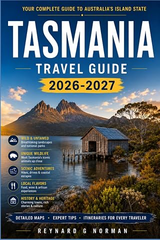
TASMANIA TRAVEL GUIDE 2026-2027: Explore Convict History, Wildlife Sanctuaries, and Southern Ocean Beaches
$20.27