 1 / 3
Rand McNally Official Route 66 Centennial Map
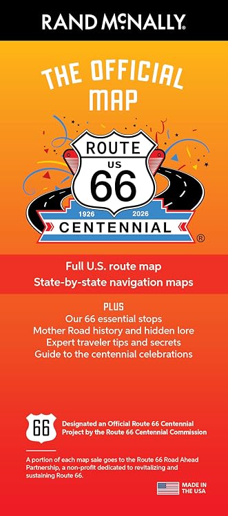
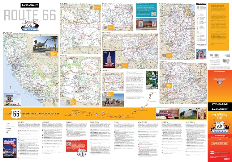
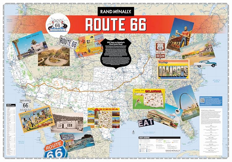
Rand McNally’s Official Route 66 Centennial Map combines route mapping with a compact guide to the historic road. It includes a full U.S. route map, state-by-state navigation maps, QR codes for the centennial events directory, and 66 suggested stops, with history and traveller tips.
At a glance
- Includes a full route map alongside detailed state-by-state navigation maps.
- Shows selected historic alignments as well as modern, drivable sections.
- QR codes link to the official Route 66 Centennial events directory.
- Combines 66 suggested stops with Route 66 history, lore and traveller tips.
- A portion of each map sale is stated to go to the Route 66 Road Ahead Partnership.
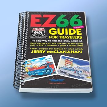
Often bought together
Pros and cons
Pros
- Folds to 4.125" x 9" and opens to 28" x 40", giving buyers both a compact stored format and a large map surface.
- Brings route mapping, suggested stops and historical context together in one paper map.
- Centennial event QR links add a way to find listed festivals and car shows.
Technical specifications
16 specifications| Route length described | 2,448 miles |
|---|---|
| Maps | Full U.S. route map and detailed state-by-state navigation maps |
| Route coverage | Some of Route 66's original historic alignments alongside modern, drivable sections |
| Stops and editorial content | Our 66 essential stops, Mother Road history and hidden lore |
| Event links | QR codes linking directly to the official Centennial events directory for festivals and car shows |
| Traveller advice | Traveler tips and secrets for a smoother road trip |
| Folded size | 4.125" x 9" |
|---|---|
| Unfolded size | 28" x 40" |
| Publisher | Rand McNally |
| Publication date | 16 January 2026 |
| Copyright | 2026 |
| Language | English |
| ISBN-10 | 0528029932 |
| ISBN-13 | 978-0528029936 |
| Weight listed | 45 g |
|---|---|
| Product dimensions listed | 9.91 x 1.27 x 23.37 cm |
What to know before buying
- The listing describes selected historic alignments and modern drivable sections, not a claim that every historic alignment is currently drivable. QR-linked event information requires a compatible device and access to the linked directory.
Who is it for?
A good fit for
- Route 66 travellers wanting a fold-out overview with state-by-state navigation detail.
- Centennial enthusiasts interested in historic alignments, suggested stops and road history.
- Buyers looking for a Route 66 keepsake that also includes practical trip-planning content.
Less suited to
- Travellers who need turn-by-turn live navigation or guaranteed current road conditions. The listing describes a printed map and event-directory QR links.
Frequently asked questions
What mapping does the map include?
The listing says it includes a full U.S. route map and detailed state-by-state navigation maps, with some original historic alignments and modern drivable sections.
What else is included beyond the route maps?
The described content includes 66 essential stops, Route 66 history and lore, traveller tips, and QR codes linking to the official centennial events directory.
How large is the map when folded and unfolded?
The listing gives a folded size of 4.125" x 9" and an unfolded size of 28" x 40".
Is this a live navigation system?
No live navigation capability is stated. The described product is a printed map, with QR links to an events directory.
Alternative options
Lonely Planet Journey Route 66: Experience one of the World's Great Adventures | Features Maps & Must-Do Stops | Build Your Own Unique Itinerary | Expert Travel Tips
$26.75
Route 66 Centennial Travel Guide: Experience the Most Famous USA Road Trip from Chicago to Santa Monica | Ready Routes, Detailed Maps, Iconic Stops & Hidden Gems for an Authentic Adventure
$35.17
Lonely Planet Best Road Trips Route 66
$16.37
The Only Route 66 Travel Guide You’ll Ever Need (2026-2027): The Complete Full Color Road Trip Planner with Clear Maps, Mile-by-Mile Routes, Must-See Stops & Hidden Gems from Chicago to Santa Monica
$35.33
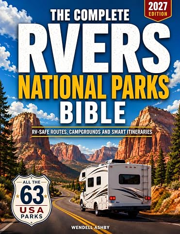
RV Camping Across the USA for Beginners: The Complete 50-State Guide with Named Campgrounds, Hookups, Length Limits, RV-Safe Routes, Step-by-Step Campsite Setup and Ready-to-Drive Trip Plans
$57.17
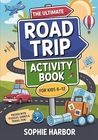
The Ultimate Road Trip Activity Book For Kids 8-12: 101 Puzzles, Games & Travel Activities For Long Drives, Plane Rides & Screen-Free Family Fun
$18.32
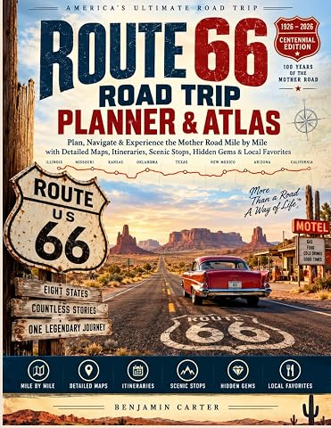
Route 66 Road Trip Planner And Atlas: Plan, Navigate & Experience the Mother Road Mile by Mile with Detailed Maps, Itineraries, Scenic Stops, Hidden Gems & Local Favorites
$30.52
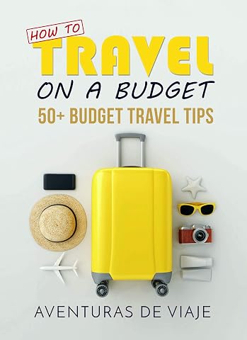
How To Travel On A Budget: 50+ Budget Travel Tips
$7.99
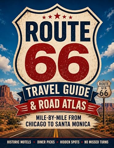
Route 66 Travel Guide and Road Atlas: Master the Classic American Road Trip Mile-by-Mile from Chicago to Santa Monica with Historic Motels, Diner Picks, and Hidden Spots Without Missing a Turn
$30.69
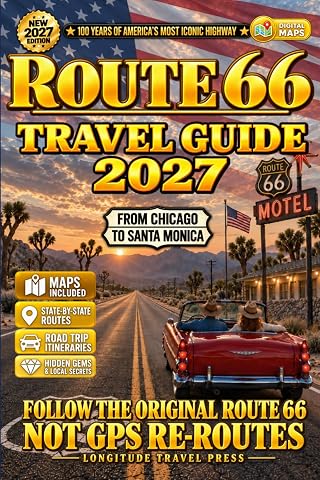
Route 66 Travel Guide: Drive The Mother Road with Maps, QR Itineraries, Hidden Stops & State-by-State Routes (Chicago to Santa Monica)
$28.57