 1 / 5
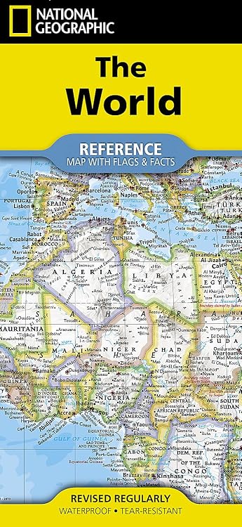
National Geographic World Classic Folded Map with Flags and Facts
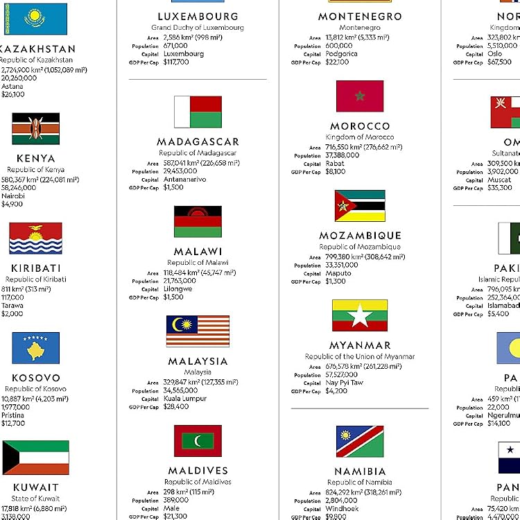
The National Geographic World Classic map is a folded world reference map with country flags and facts on the reverse. Its synthetic paper construction is described as waterproof and tear-resistant, while its size and place-name detail suit broad reference and teaching use better than close-up navigation.
At a glance
- Country facts and flags on the reverse include area, population, capital city and GDP per capita.
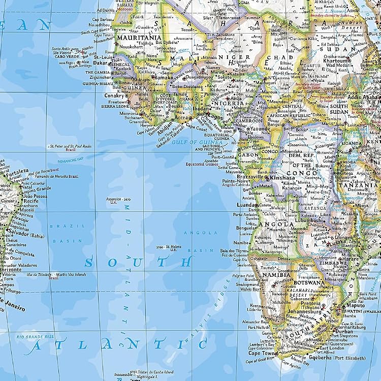
- Map detail includes international boundaries, cities, islands, airports, named mountain ranges and major water bodies.
- Shaded relief depicts terrain, and corner insets show vegetation, land use, population density and polar regions.
- The Winkel Tripel projection is intended to reduce distortion compared with some other world map projections.
Reference price: $25.94
Price checked: 18 Nov 2026
View offerAhead of Black FridayExplore the selectionOften bought together
Pros and cons
Pros
- Folded format is compact for carrying, and the stated synthetic paper is designed to tolerate water exposure and repeated folding.
- Combines a broad geographic overview with country flags and national facts, which can support study and general reference.
- Terrain shading, clearly defined boundaries and numerous place names provide a varied reference layer.
Cons
- At a world-map scale, individual place names and geographic details may be too small for some readers to read comfortably.
Technical specifications
14 specifications| Map scale | 1:37,213,000 |
|---|---|
| Flat sheet size | 37.75" x 25.5" |
| Folded size | 4.25" x 9.25" |
| Projection | Winkel Tripel projection |
| Copyright date | 2022 |
| Language | English |
| Publication date | 13 March 2025 |
| Edition | 2025th ed. |
| Print length | 2 pages |
| Material | waterproof, tear-resistant synthetic paper |
|---|
| Weight listed | 92 g |
|---|---|
| Dimensions | 10.41 x 0.76 x 22.86 cm |
| Publisher | National Geographic Maps |
|---|---|
| ISBN-13 | 978-1566958080 |
What to know before buying
Listing details to confirm
Listing details give a 2022 copyright date alongside a 2025 publication date and 2025th edition. The page also gives sheet and folded sizes in inches and separate item dimensions in centimetres, which may describe different measurements. Confirm the version and format details if these distinctions matter.
Who is it for?
A good fit for
- Travellers wanting a compact folded world overview to carry.
- Home or classroom use for broad geography reference and country-facts learning.
- Readers who want a world map with shaded terrain, flags and country information.
Less suited to
- Buyers needing a large wall display or a map optimised for close inspection of small place names.
- Users needing turn-by-turn or street-level navigation.
Customer reviews on Amazon
- 5 stars
81% 81% - 4 stars
13% 13% - 3 stars
5% 5% - 2 stars
0% 0% - 1 star
1% 1%
Customer feedback highlights map detail, perceived geographic accuracy, foldability and usefulness for learning. Some users also find it easy to read, while others report difficulty. That difference matters for a map with thousands of place names on a sheet listed at 37.75" x 25.5". The positive overall rating distribution is encouraging but does not establish that every reader will find the labels legible.
Positive themes
- Customers describe the map as detailed, foldable and useful for educational purposes.
- Some customers praise its perceived geographic accuracy and water resistance.
Mixed feedback
- Readability receives mixed feedback, with some finding the map easy to use and others finding it hard to read.
Frequently asked questions
What information is on the reverse?
The listing says it includes each country's area, population, capital city, GDP per capita and flag.
How large is the map when unfolded?
The listed sheet size is 37.75" x 25.5". The listing separately gives a folded size of 4.25" x 9.25".
Is the map designed for repeated folding?
The product information describes waterproof, tear-resistant synthetic paper intended to withstand repeated folding.
Is it easy to read?
Customer feedback is mixed on readability. The map includes many place names, so readers sensitive to small print may prefer a larger-format map.
Alternative options
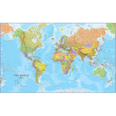
Maps International - World Map - Front Sheet Lamination - 118.9cm (w) x 84.1cm (h)
$44.99
The Geology of Australia
$106.95
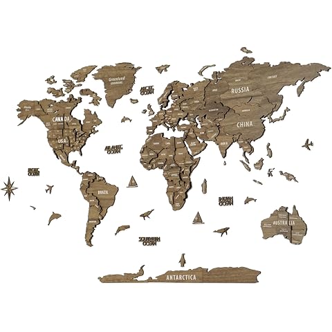
3D Wooden World Map, Multilayered Travel Map with States and Capitals, Wall Decor For The New House, Office Decor, Birthday Present (XL, Vega)
$399.00
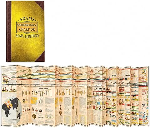
HEYUSHAN Synchronological History Chart Adams Time Chart Map History,Gold | Fold-out paper chart with parallel timelines of world civilizations and empires, ideal for history study
$36.99
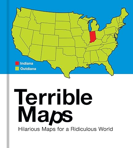
Terrible Maps: Hilarious Maps for a Ridiculous World
$30.75
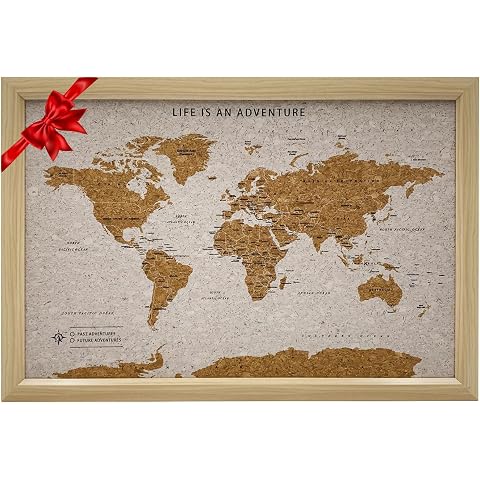
Splosh TVB03 Travel Board World Map, Small, Beige/White
$39.40

The Lonely Planet The Travel Book: A Complete Guide to Every Country in the World with Expert Travel Tips, Stunning Photography, Cultural Insights & Detailed Maps
$27.99
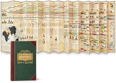
HEYUSHAN Synchronological History Chart Adams Time Chart Map History,Green | Fold-out paper chart with parallel timelines of world civilizations and empires, ideal for history study
$28.89
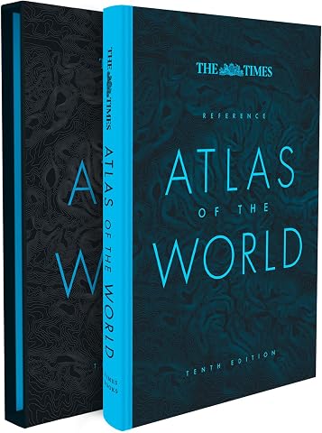
The Times Reference Atlas of the World [Tenth Edition]
$93.75