 1 / 7
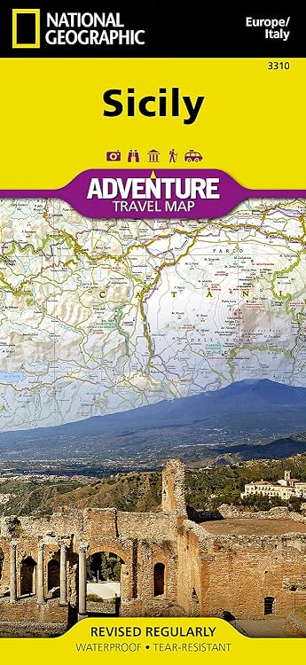
National Geographic Sicily Adventure Map 3310
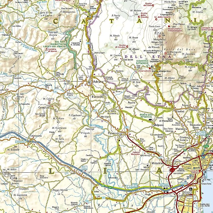
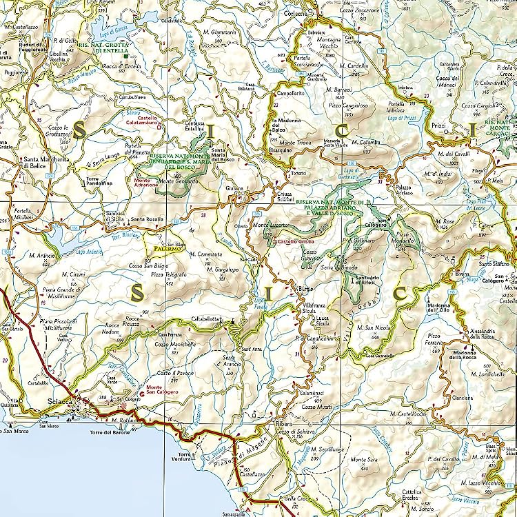
National Geographic Sicily Adventure Map 3310 is a two-sided folded map covering western and eastern Sicily, with inset maps of nearby islands. It is printed on synthetic paper described as waterproof and tear-resistant, and includes roads, towns, points of interest and a place-name index for trip planning and navigation.
At a glance
- The reverse covers eastern Sicily while the front shows the western half, with separate island insets.
- Road information includes distances and distinctions between major highways, main roads, tracks and trails.
- The maker describes the synthetic paper as waterproof and tear-resistant.
Reference price: $24.99
Price checked: 18 Nov 2026
View offerAhead of Black FridayExplore the selectionOften bought together
Pros and cons
Pros
- Two-sided regional coverage includes inset maps for several surrounding islands.
- Folded size is listed as 235 x 108 mm, and the map opens to 965 x 660 mm.
- The listed road network and place-name index can support route planning, including for smaller roads and rural places noted in customer feedback.
Cons
- A large unfolded sheet may be awkward to consult while driving. Customer feedback also describes car use as less convenient.
Technical specifications
17 specifications| Sides | two-sided |
|---|---|
| Western Sicily cities shown | Trapani, Palermo, Caltanissetta, Licata, Agrigento, Sciacca, Marsala, and Mazara del Vallo |
| Western-side island insets | Isola di Ustica, Isola di Pantelleria, Isola di Linosa, and Isole Pelagie |
| Eastern Sicily cities shown | Gela, Syracuse, Catania, Messina, and Milazzo |
| Eastern-side island inset | Isole Lipari |
| Paper | durable synthetic paper |
|---|---|
| Folded size | 235 x 108 mm |
| Unfolded size | 965 x 660 mm |
| Weight listed | 91 g |
| Dimensions listed | 10.8 x 0.4 x 23.5 cm |
| Publisher | National Geographic |
|---|---|
| Edition | 2022nd ed. |
| Publication date | 1 December 2014 |
| Language | English |
| Print length | 1 pages |
| ISBN-10 | 1566955424 |
| ISBN-13 | 978-1566955423 |
What to know before buying
Listing details to confirm
The listing gives a publication date of 1 December 2014 alongside an edition listed as 2022nd ed. These details are inconsistent, so check which edition the selected copy represents. The map's waterproof and tear-resistant properties are manufacturer claims. Customer feedback about travel-friendliness is mixed, including a report that it is not the easiest map to use in a car.
Who is it for?
A good fit for
- Travellers planning routes around Sicily who want a paper reference with road distances and smaller-road detail.
- People who want one folded map covering both sides of Sicily and selected nearby islands.
- Trip planners looking for a broad view of towns, routes and points of interest.
Less suited to
- Drivers who need a map that is easy to consult while moving or from a fixed position in the car.
- Buyers seeking a guidebook with extended cultural, accommodation or itinerary content. The supplied information describes a map.
Customer reviews on Amazon
- 5 stars
78% 78% - 4 stars
15% 15% - 3 stars
4% 4% - 2 stars
1% 1% - 1 star
2% 2%
Customer feedback highlights map quality, detailed coverage, water resistance and usefulness for planning, with reported value in visualising routes and distances and finding small roads or rural names. These points complement the listing's road network and index, but describe customer perceptions rather than verified map performance. Feedback on travel-friendliness is mixed, including a report that the sheet is awkward to use in a car. The aggregate ratings are mostly in the higher star categories, though they do not explain individual experiences.
Positive themes
- Customers describe the map as detailed and useful for trip planning, including visualising routes and distances.
- Feedback praises map quality and water resistance, and mentions small roads and rural names.
Mixed feedback
- Opinions about travel-friendliness are mixed, with a report that the map is not the easiest to use in a car.
Frequently asked questions
What areas does this map cover?
It shows western and eastern Sicily on opposite sides, with inset maps of Isola di Ustica, Isola di Pantelleria, Isola di Linosa, Isole Pelagie and Isole Lipari.
What road information is included?
The listing describes a road network with distances and separate designations for major highways, main roads, tracks and trails, along with a place-name index.
Is the map waterproof?
The maker describes its synthetic paper as waterproof and tear-resistant. These are manufacturer claims, not independently verified performance results.
Is it convenient to use in a car?
Customer feedback is mixed on travel convenience, and one report says it is not the easiest to use in the car. Its unfolded size is 965 x 660 mm, so it may be more practical for planning stops than for in-car consultation.
Alternative options
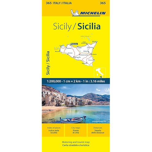
Sicily - Michelin Local Map 365: Map
$21.50
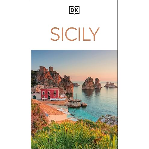
DK Sicily: Must-See Sights. Culture & History. Detailed Maps & Tours. Covers Palermo, Taormina, Mount Etna, & more
$25.75
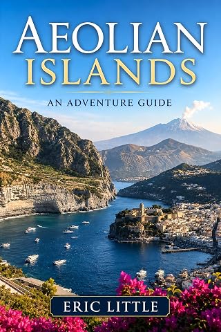
AEOLIAN ISLANDS: AN ADVENTURE GUIDE
$11.08
Collins World Atlas: Reference Edition [Sixth Edition]
$43.41
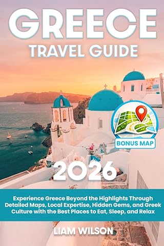
Greece Travel Guide: Experience Greece Beyond the Highlights Through Detailed Maps, Local Expertise, Hidden Gems, and Greek Culture with the Best Places to Eat, Sleep, and Relax
$29.67
Route 66 Travel Guide and Road Atlas: Master the Classic American Road Trip Mile-by-Mile from Chicago to Santa Monica with Historic Motels, Diner Picks, and Hidden Spots Without Missing a Turn
$30.69
Lonely Planet Italy Planning Map: Durable, Waterproof, Easy-Fold Travel Map with Attractions, Itineraries & Transport Guide – Handy Slipcase for Italy Adventures
$12.74
Splosh Travel Board Australia Map, Desk, Beige/White
$30.11