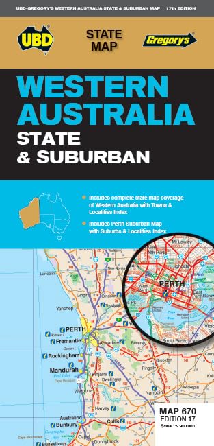
Western Australia State & Suburban Map 670, 17th Edition
Western Australia State & Suburban Map 670, 17th Edition combines coverage of Perth and surrounds with a state map and town index. It is aimed at travellers who want printed suburb and locality references, including a South West section at a stated scale of 1: 870 000.
At a glance
- Includes suburban map coverage of Perth and surrounds, with the stated northern, southern and eastern limits.
- Suburb and locality index, plus a state map and an index to towns, localities and homesteads.
- Includes a South West Western Australia section and insets for Yanchep and Pinjarra.
Reference price: $12.99
Price checked: 18 Nov 2026
View offerAhead of Black FridayExplore the selectionOften bought together
Pros and cons
Pros
- Combines detailed Perth-area suburb coverage with broader Western Australia and South West mapping.
- Indexes are listed for suburbs, localities, towns and homesteads, helping readers locate named places.
Technical specifications
10 specifications| Publisher | UBD Gregory's |
|---|---|
| Edition | Seventeenth |
| Publication date | 29 November 2023 |
| Language | English |
| Print length | 1 pages |
| ISBN-13 | 978-0731933297 |
| Perth and surrounds coverage | north to Ridgewood, south to Halls Head and North Dandalup, and east to the Lakes, Karragullen and Gleneagle |
|---|---|
| Included map insets | Yanchep and Pinjarra |
| South West map scale | 1: 870 000 |
| Weight listed | 70 g |
|---|
Who is it for?
A good fit for
- Travellers planning road trips around Perth, Rockingham and Mandurah who want a printed map and place indexes.
- Readers seeking a map that covers both Perth suburbs and Western Australia towns and localities.
Less suited to
- Buyers who specifically need a digital or interactive navigation product.
Customer reviews on Amazon
- 5 stars
69% 69% - 4 stars
11% 11% - 3 stars
10% 10% - 2 stars
10% 10% - 1 star
0% 0%
The aggregate ratings lean positive overall, with a smaller spread across middle and lower star categories. This offers only a broad indication of customer sentiment, not specific feedback about map accuracy, coverage or usability. Buyers should judge the stated geographic limits and indexes against their intended route.
Frequently asked questions
What areas does the suburban map cover?
The listing describes Perth and surrounds, extending north to Ridgewood, south to Halls Head and North Dandalup, and east to the Lakes, Karragullen and Gleneagle. It also names Yanchep and Pinjarra as insets.
Does this map include areas beyond Perth?
Yes. The listing describes a Western Australia state map and a South West Western Australia section, alongside Perth suburban coverage.
What indexes are included?
The listing specifies an index to suburbs and localities on the suburban map, and a state-map index to towns, localities and homesteads.
What is the stated scale for the South West section?
The listed scale is 1: 870 000.
Alternative options
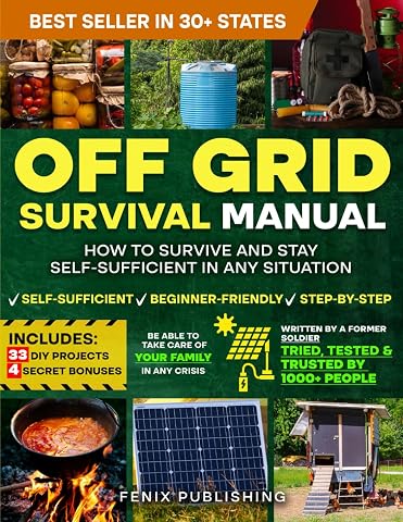
Off Grid Survival Book: Diy Survival Project Book - No Grid Survival Guide
$49.50
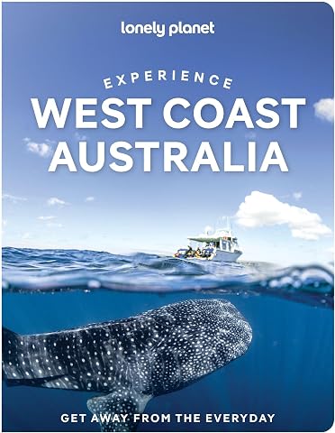
Lonely Planet Experience West Coast Australia: Build a Trip to Remember | Local Insights | Maps & Planning Tools | Covers Perth, Margaret River, South Coast, Ningaloo Coast and more
$26.75
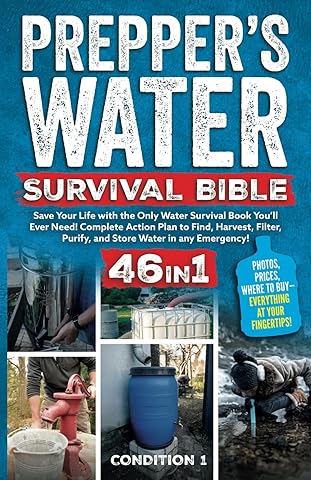
PREPPER’S WATER SURVIVAL BIBLE: Save Your Life with the Only Water Survival Book You’ll Ever Need! Complete Action Plan to Find, Harvest, Filter, Purify, and Store Water in any Emergency!
$38.47
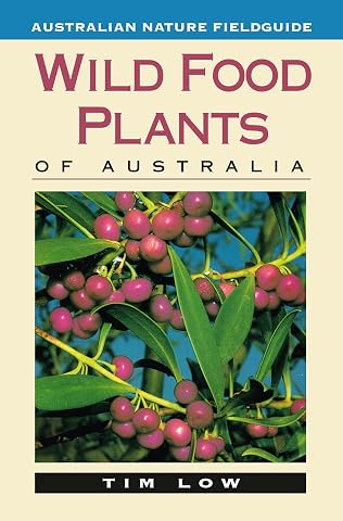
Wild Food Plants of Australia
$26.99
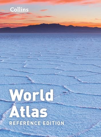
Collins World Atlas: Reference Edition [Sixth Edition]
$43.41
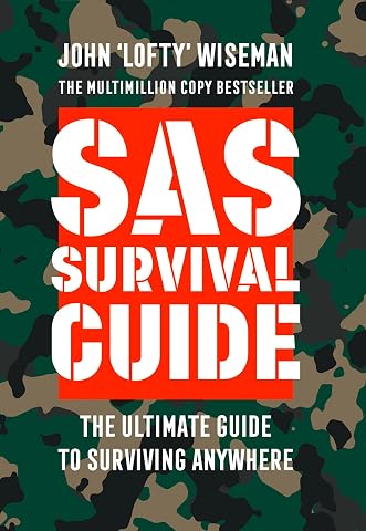
Collins Gem - SAS Survival Guide: How To Survive In The Wild, On Land OrSea
$14.44
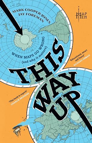
This Way Up: When Maps Go Wrong (and Why it Matters)
$28.75
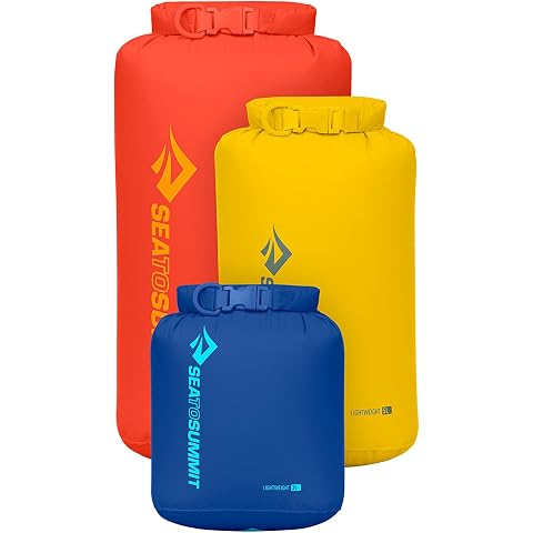
Sea to Summit Lightweight Dry Bag 3-Piece Set | Set of three lightweight roll-top dry bags keeps gear dry and organized for backpacking, kayaking, and travel
$44.98