 1 / 6
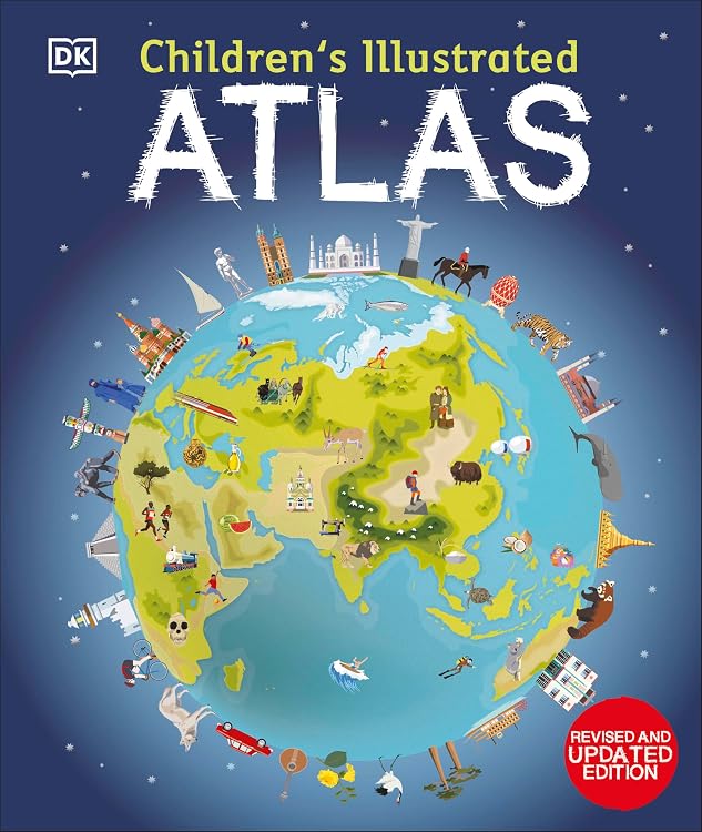
DK Children's Illustrated Atlas: Revised and Updated Edition
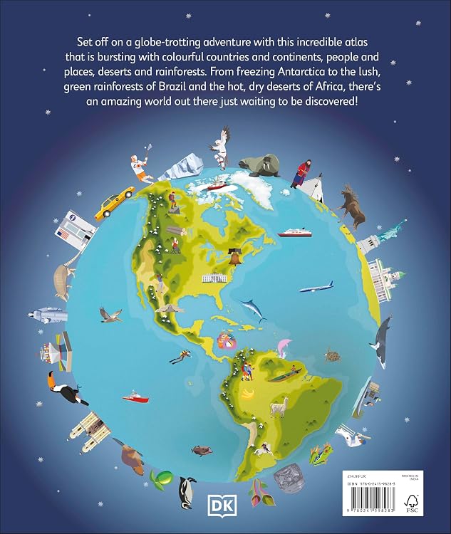
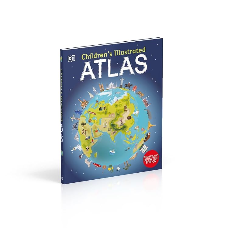
Revised Updated Edition: DK Children's Illustrated Atlas is a colourful world atlas for children, with maps and photographs introducing countries and continents. It also explains how to use a map key, compass and scale, making it a practical choice for young readers beginning to explore geography.
At a glance
- Includes a world map and political maps for each continent.
- Country maps combine colourful icons with photographs and facts.
- Introduces map keys, compass use and scale.
Often bought together
Pros and cons
Pros
- Offers both visual country information and basic map-reading guidance in one book.
- The stated 128-page length gives room for a broad introduction to world geography.
Technical specifications
10 specifications| Publisher | Dorling Kindersley |
|---|---|
| Edition | 1st |
| Publication date | 31 January 2023 |
| Language | English |
| Print length | 128 pages |
| ISBN-10 | 0241598281 |
| ISBN-13 | 978-0241598283 |
| Reading age | 7 - 9 years |
| Dimensions | 26 x 1.7 x 31 cm |
|---|---|
| Weight listed | 800 g |
Who is it for?
A good fit for
- Children aged 7 to 9 who are starting to explore maps and world geography.
- Families looking for an illustrated reference book with country facts and map-reading basics.
Less suited to
- Readers seeking an exhaustive geographic reference or assured coverage of every region. Customer feedback notes that West Africa is not covered.
Customer reviews on Amazon
- 5 stars
85% 85% - 4 stars
11% 11% - 3 stars
3% 3% - 2 stars
1% 1% - 1 star
0% 0%
Customer feedback describes the atlas as informative and beautifully illustrated, with reports that its detail can hold children's attention. Some customers appreciate country production facts, while feedback on geographic coverage is mixed, including a comment that West Africa is not covered. This makes the reported appeal relevant for children exploring maps, but buyers needing broad regional coverage may want to check whether the book meets their needs. The supplied rating distribution is mostly five-star, though ratings alone do not explain individual experiences.
Positive themes
- Customers describe the illustrations and information as engaging for children.
Mixed feedback
- Feedback appreciates details about what countries produce but also raises a concern about coverage of West Africa.
Frequently asked questions
What topics and map skills does the atlas cover?
The listing describes a world map, a political map for each continent, country facts and guidance on using a map key, compass and scale.
What age is this atlas listed for?
The stated reading age is 7 - 9 years.
How long is the book?
The listing gives a print length of 128 pages.
Alternative options
The Geology of Australia
$106.95
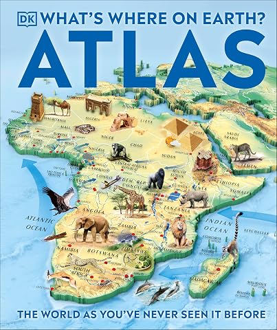
What's Where on Earth? Atlas: The World as You've Never Seen It Before!
$28.04
The Aircraft Book: The Definitive Visual History
$35.52
The Lonely Planet Kids The Big Earth Book: Explore Our Planet's Four Elements | History, Geography & Science Facts | Volcanoes, Earthquakes, Northern Lights, Waterfalls & More
$22.47
Knowledge Encyclopedia Science!, 2nd Edition
$30.37
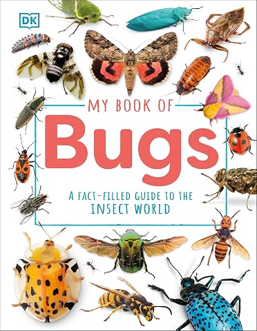
My Book of Bugs: A Fact-Filled Guide to the Insect World
$21.24
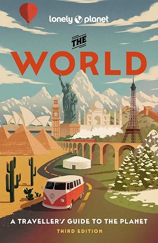
Lonely Planet The World: A Traveller's Guide to the Planet | Every Country from A-Z | Itineraries from 5 weeks to 3 months | Beautiful Travel Gift
$31.75
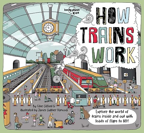
Lonely Planet Kids How Trains Work: Brilliant Facts & Lift the Flaps | Amazing Illustrations | Explore a Busy Railway Station | Golden Age of Steam to High Speed Services
$15.80